
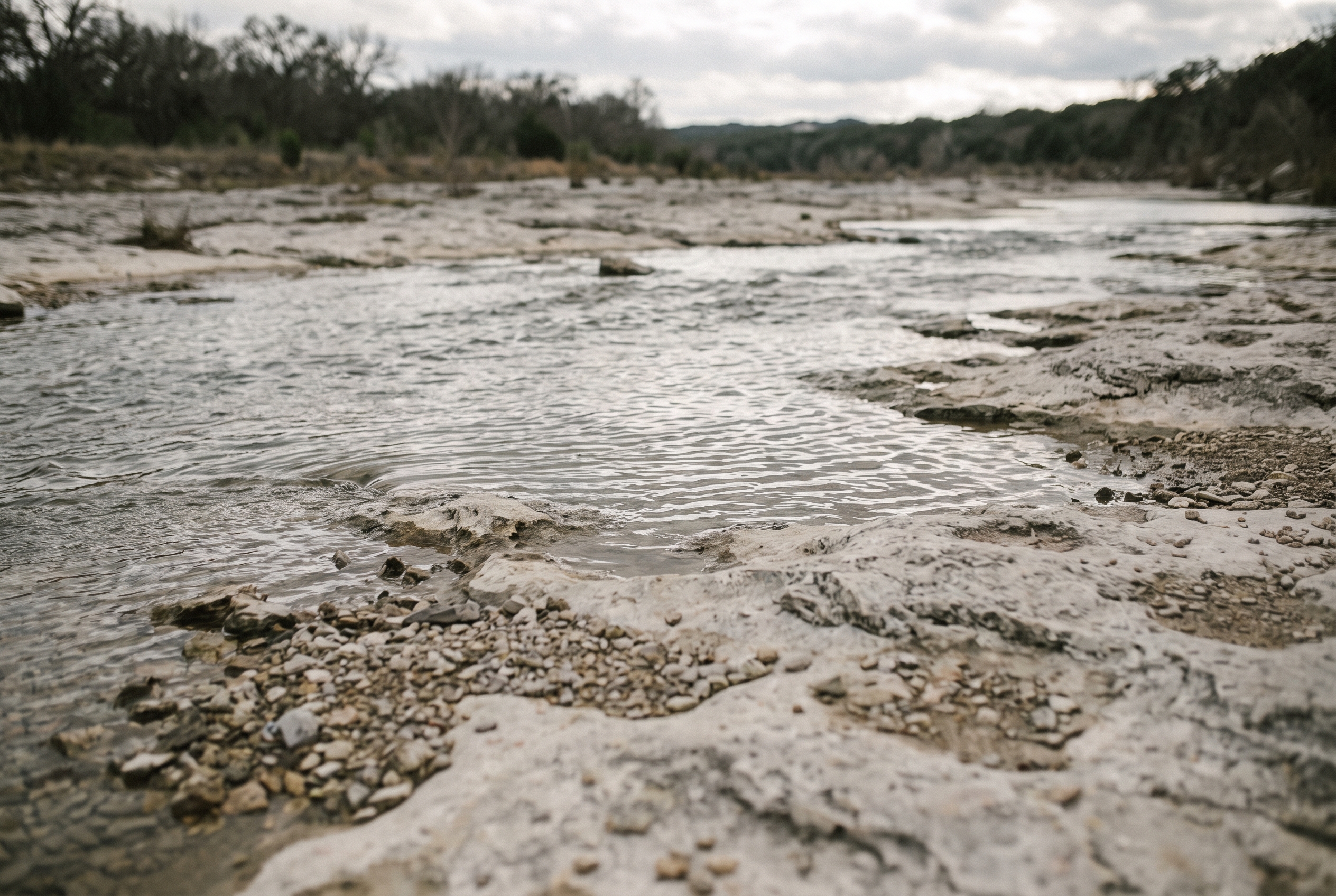

Drive out to the spillway below Coralville Lake, just north of Iowa City off Interstate 80, and you’ll walk across a slab of exposed bedrock that didn’t exist in any visible form before the summer of 1993. The Iowa River rose so high that year it poured over the dam’s emergency spillway for the first time since the lake was built, scouring away decades of soil and gravel in a matter of days. What it left behind was 375-million-year-old limestone, packed with fossilized coral and brachiopods from a warm sea that once covered this part of the state. Geologists now call it the Devonian Fossil Gorge, and it’s one of the few places in Iowa where a flood didn’t just wreck something. It uncovered something.
A Spillway That Cut Through Time
The gorge sits within the Army Corps of Engineers’ Coralville Lake recreation area, and it’s open to walk through most of the year, though trail conditions depend on how much water the Corps is holding back upstream. There’s no fee to visit and no ranger station guarding the fossils — you’re free to look closely, run a hand along the ridged surface of an ancient coral colony, and leave it exactly where it sits, which is the rule. Signage along the walk explains what happened here in plain terms: heavy spring rain, then more rain, then a summer that wouldn’t let up, until the reservoir had nowhere else to send the water except over the top.
Late summer and early fall are the best times to go. By then the spring runoff has usually dropped, exposing more of the gorge floor, and the humidity that makes an Iowa July miserable has usually broken. Go too early in the season and you might find sections underwater.
Davenport’s Choice to Stay Open
Ninety minutes east on U.S. 61 and then up the Mississippi, Davenport tells a different version of the same story. In 1993, the river swallowed streets downtown for weeks, and it has done so again more than once since. Unlike its river-town neighbors — Rock Island and Moline across the water in Illinois, or Burlington and Fort Madison downstream — Davenport never built a permanent floodwall along its central riverfront. City leaders after 1993 debated it and largely decided against one, betting that keeping the view of the Mississippi open was worth the periodic flooding of parking lots and ballfields near the water.
That decision is still visible today. LeClaire Park and the riverfront ballpark sit low enough that in a wet spring, city crews sandbag the outfield fence and close the lot without much fanfare. It happens often enough that longtime residents plan around it the way they plan around road construction. Visitors sometimes assume a flooded riverfront in Davenport means something has gone wrong. Usually it just means the river did what it does in April, and the city let it.
Chelsea’s Move to High Ground
Not every town made that bet. Chelsea, a small community in Tama County on the Iowa River northwest of Cedar Rapids, took federal buyout money after the 1993 flood and relocated much of its housing to higher ground rather than rebuild in the floodplain. It’s a quieter kind of landmark than a fossil gorge or a riverfront park — there’s no plaque marking where the old houses stood — but drive through Chelsea today and the newer homes on the edge of town tell the story plainly enough if you know what you’re looking at. Dozens of Iowa communities made similar choices in the years after 1993, trading proximity to the water for the certainty of staying dry. The State Historical Society of Iowa keeps records and photographs from that flood season that make the scale of it clearer than any single town can.
Getting the Timing Right
If you’re building a trip around any of this, the season matters more than it does for most Iowa outings. Spring — late March through May — is when the rivers are highest and least predictable, which makes it the wrong time to count on the fossil gorge being fully walkable or a riverfront lot being open in Davenport. Late summer and fall give you the best odds of dry ground and clear water. Winter has its own appeal along the Mississippi, when bald eagles gather below the locks and dams at Keokuk and elsewhere, but that’s a different trip with a different set of layers to bring.
One Thing People Get Wrong
The most common mix-up is treating the 1993 flood and the 2008 flood as the same event, or assuming the towns that suffered worst in one suffered worst in the other. They didn’t overlap cleanly. Des Moines took the harder hit in 1993, when its water treatment plant went under and the city went without safe tap water for nearly two weeks. Cedar Rapids bore the brunt in 2008. Iowa’s rivers don’t flood the same way twice, and a town’s flood history usually depends on which tributary swelled fastest that particular year. Before you plan a drive around flood history, it’s worth checking current conditions through Travel Iowa or a county emergency management office rather than assuming last decade’s story still applies.